
Your cart is empty.
Keep shopping
Foundations of GIS Remote Sensing
602 students
Foundations of GIS Remote Sensing
Learn Theoretical Remote Sensing and Google Earth Engine
Created byFrancisco Molina Villagrán / GEODENSITY
Last updated 9/2025
English
English [Auto],
What you'll learn
- Understand the physical and technical fundamentals of remote sensing.
- Identify the main remote sensors and their basic applications.
- Distinguish between passive and active sensors, and their operational differences.
- Recognize the platforms that carry sensors: satellites, aircraft, and drones.
Explore related topics
Coding Exercises
This course includes our updated coding exercises so you can practice your skills as you learn.
See a demo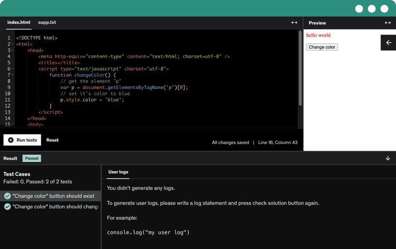
Course content
7 sections • 15 lectures • 1h 9m total length
Requirements
- Basic knowledge of geography or Earth sciences. General familiarity with maps or satellite images (not required). Interest in learning about remote sensors and their practical use. No prior knowledge of programming or GIS is required.
Description
“This course contains the use of artificial intelligence.”
This introductory course provides the basic foundations to understand how we observe the Earth from space through remote sensors. Across five well-structured classes, students are guided step by step from general concepts to key technical elements that define the quality of satellite data used daily in areas such as environment, agriculture, urban management, and climate change studies.
We begin with a clear introduction to remote sensing: what it is, how it works, and why it is a fundamental tool for territorial analysis. Next, we focus on the electromagnetic spectrum, exploring how radiation interacts with the atmosphere and Earth’s surfaces, producing unique patterns—known as spectral signatures—that allow us to identify vegetation, water, soil, snow, or urban materials from space.
The course continues with the study of remote sensors, their platforms (satellites, aircraft, drones), and the resolutions that characterize their data: spatial, spectral, temporal, and radiometric. We conclude by reviewing how these images are processed, what satellite missions are currently available, and how to access free, high-quality scientific data.
No prior knowledge of programming or GIS is required. This course is designed for students, technicians, educators, or anyone interested in starting with remote observation of the Earth in a clear and practical way.
Who this course is for:
- Students in geography, geology, agronomy, environmental sciences, or related fields. Technicians or professionals working with satellite imagery or drones. Educators seeking clear material to teach the fundamentals of remote sensing. Anyone interested in understanding how the Earth is observed from space, without the need for advanced knowledge.