

Your cart is empty.
Keep shoppingDeveloping a map application with OpenLayers
127 students
Developing a map application with OpenLayers
How to easily add a map on a web page
Created byEmmanuel Belo
Last updated 2/2022
English
English
What you'll learn
- Become familiar with the main components of an OpenLayers project
- Understand the interactions between components and the structure of an OpenLayers project
- Understand the different concepts proposed by OpenLayers
- Be able to create a map with a background, different layers and interactions
Explore related topics
Coding Exercises
This course includes our updated coding exercises so you can practice your skills as you learn.
See a demo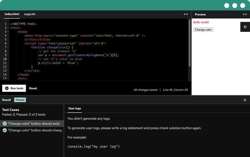
Course content
12 sections • 15 lectures • 1h 31m total length
Requirements
- Good Notions in web development (JS, HTML, CSS)
- Basic knowledge of Web Services OGC.
- Basic knowledge of GIS (layers, style, features...)
Description
As a developer, you are interested to add a map on your website? You want to let user be able to interact with it?
OpenLayers is a JavaScript library that enables you to display and query data from multiple sources in order to build a dynamic map in any web page
What is OpenLayers’ role in an open source web mapping stack? You will see in a few sequences how to create a map, add multiple layers, controls and events to interact with your map. Then you will see how to manage different data layer formats and projection. Finally, you will be able to improve your map to export it, and add support for mobile devices. Quiz and exercises will help you consolidate your new skills for each sequence.
Of course, these first steps are required before working on bigger projects. A lot of other features are available in OpenLayers, as vector editing, distance and surface measurements, vector tiles, 3D.
But, before working with these complex features, we strongly recommend to start with this introduction to get straight in the OpenLayers API! Are you ready to code? Let's get started.
Thank you for selecting our introduction to OpenLayers.
The Camptocamp Training Team
Who this course is for:
- GIS managers
- Web developer
- GIS specialist